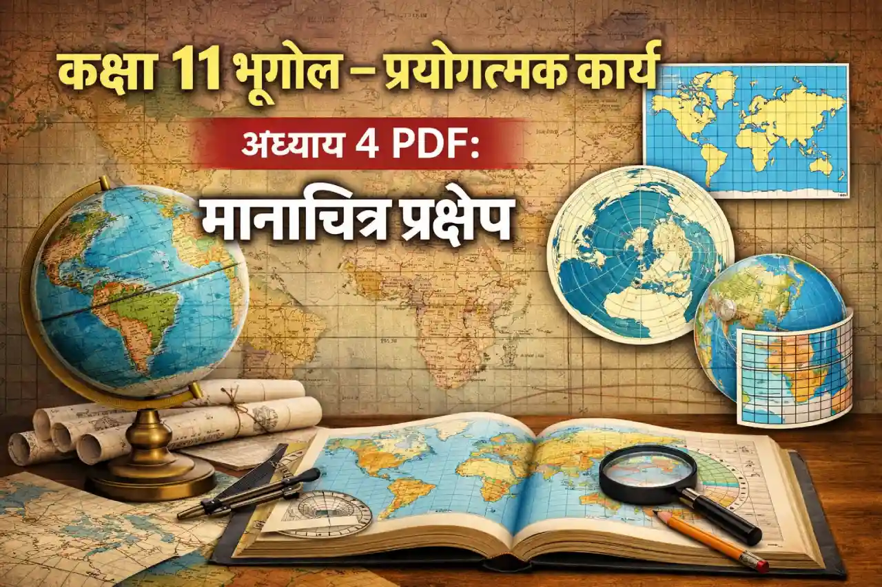
NCERT Class 11 Geography Practical Chapter 4, titled मानचित्र प्रक्षेप (Map Projections), explains how the round Earth is represented on flat maps. Since the Earth is spherical and maps are flat, some distortion is always involved. This chapter introduces students to the basic idea of map projections, their need, and the main types used in geography. It is an important part of practical geography and helps students understand how maps are prepared and interpreted.
I am writing about this chapter because many students find map projections confusing at first. Terms like distortion, scale variation, and projection surfaces can feel heavy. But once the basics are clear, the topic becomes logical and scoring. This chapter also builds a strong base for higher classes and competitive exams where understanding different projections and their uses is essential. Having the official NCERT PDF and simple explanations can make revision much easier.
What You Learn in Chapter 4
This chapter focuses on the fundamentals of map projections and their practical use.
- Meaning of map projection
- Why map projections are needed
- Concept of distortion on maps
- Major types of map projections
- Basic idea of projection surfaces
What Is a Map Projection
A map projection is a method of showing the curved surface of the Earth on a flat sheet of paper. Because it is impossible to do this without some error, every projection shows some distortion in:
- Shape
- Area
- Distance
- Direction
Different projections try to reduce different types of distortion.
Major Types of Map Projections
Students mainly study three broad categories:
- Cylindrical projections
- Conical projections
- Planar (Azimuthal) projections
Each type is suited for specific regions and purposes.
Simple Example to Understand
- Cylindrical projections are useful for world maps.
- Conical projections work well for mid-latitude regions.
- Planar projections are commonly used for polar areas.
These examples help students link projection type with practical usage.
Why This Chapter Is Important for Practical Exams
This chapter helps students:
- Understand how maps are created
- Identify types of projections from diagrams
- Answer short notes and objective questions
- Build conceptual clarity for later geography topics
It is often tested in both theory and practical assessments.
How to Download NCERT Class 11 Geography Practical Chapter 4 PDF
Students can download the official PDF from the NCERT website by following these steps:
- Visit the official NCERT website
- Click on Textbooks
- Select Class 11
- Choose Geography – Bhugol Main Prayogatmak Karya
- Open Chapter 4: मानचित्र प्रक्षेप
- Download the PDF
Using the official source ensures you get the latest and correct version.