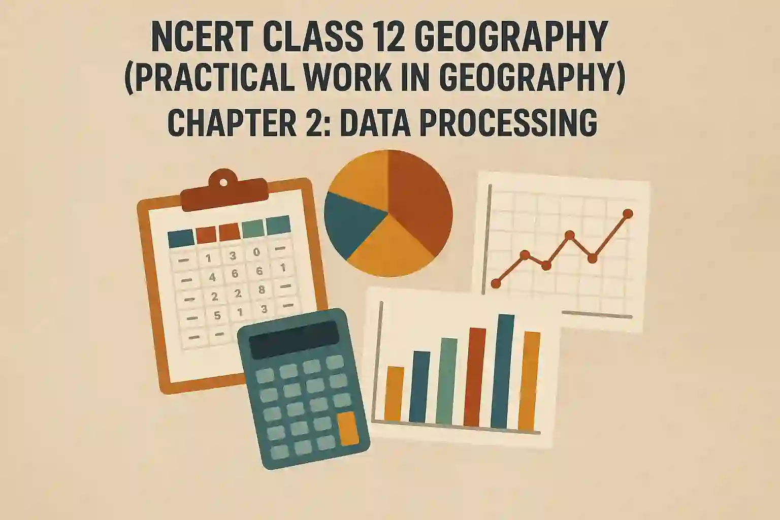
Chapter 2 of the Class 12 Practical Geography book is all about Data Processing. Once data is collected and compiled, it must be processed to make it useful. This chapter explains different methods of classifying, tabulating and presenting data so that meaningful conclusions can be drawn from it. It also talks about the importance of accuracy, consistency and systematic handling of geographical data. Whether you are preparing for a board exam or creating a project, this chapter helps you present your data in a logical and professional manner.
I chose to write about this chapter because many students find it difficult to shift from theory to actual practical work. While collecting data may look easy, processing it correctly is what makes the difference in marks and understanding. Knowing how to clean, organise, classify and present information is important not just for CBSE practical exams, but also for higher studies and fieldwork. Data processing is a skill that helps students in Geography, Economics, Sociology and many other fields. So I thought it’s important to explain this chapter in a clear and simple way and also share the direct NCERT PDF link so you can download and refer anytime.
What is Data Processing?
Data processing is the step that comes after data collection and compilation. It involves organising the data in a meaningful way so that it becomes easier to understand, compare, and analyse. This includes tasks like:
- Classifying the data
- Tabulating it into rows and columns
- Calculating totals, averages, percentages etc.
- Converting numbers into visual formats like graphs or diagrams
For example, if you’ve collected data on the population of five Indian cities, data processing would mean sorting the cities based on population size, calculating total population, and maybe drawing a bar graph to show comparisons.
Types of Classification
In Geography, data can be classified in different ways depending on the nature of the study. The main types are:
1. Qualitative Classification
This is based on attributes like gender, language, religion or type of crops. These are non-numerical values.
Example: Classifying areas based on soil type (Alluvial, Black, Red, etc.)
2. Quantitative Classification
This deals with numerical data and is divided into two categories:
- Frequency Distribution – Shows how often a value occurs
- Class Intervals – Groups data into intervals for better understanding
Example: Grouping temperature readings like 20–25°C, 25–30°C, etc.
Tabulation of Data
Tabulation is the process of arranging data in rows and columns. It makes the data readable and comparable. A good table must have:
- Title
- Headings for rows and columns
- Units of measurement
- Totals or summaries (if needed)
Download PDF: NCERT Class 12 Practical Geography Chapter 2
You can download the official NCERT PDF for Chapter 2 – Data Processing from here:
NCERT Class 12 Geography (Practical Work in Geography) Chapter 2: Data Processing